Surface and benthic conditions
Bio-ORACLE provides essential physical, chemical and biological data layers for both surface and benthic marine realms.
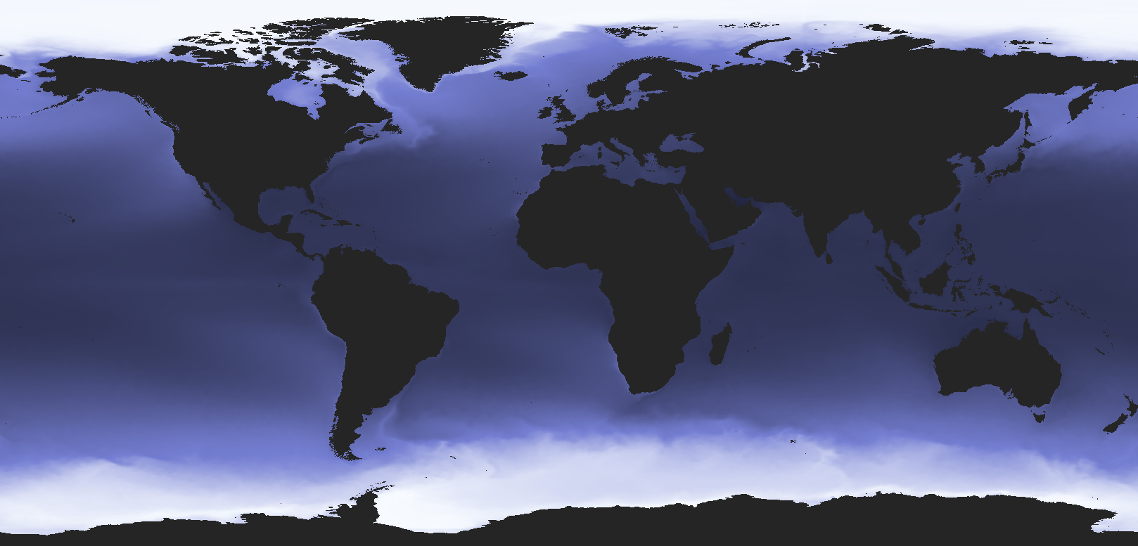
Global and uniform
The data are available globally at a spatial resolution of 0.05 degrees (approximately 5.5 km at the equator).
Forecasting and transferability
The Shared Socioeconomic Pathway scenarios of CMIP6 are provided to model the implications of future changes.